Transforming Underground Utility Mapping
Underground utility works pose a wealth of challenges for every kind of worker. Mapping and plans, in particular, are an underdeveloped area where the failings of traditional practices cause hugely negative impacts to productivity, costs and human safety. It is essential that underground works can be reliably located, but current practices do not always allow this. To create a better future for underground works, traditional methods need to be transformed in order to cope with demand.
So, with the need for more accurate mapping more pressing than ever, how can we create better working practices when mapping and locating underground utility works?
The Current Issue
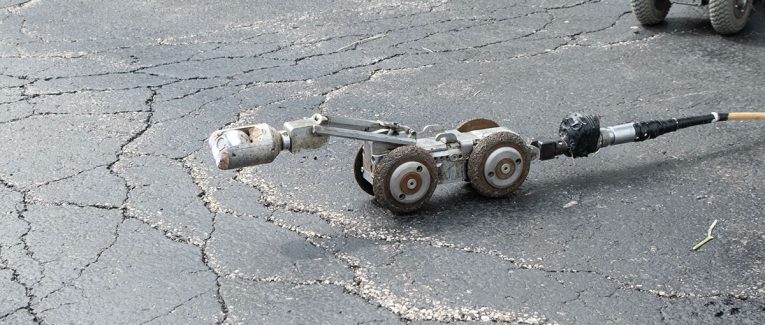
Current practices for mapping underground utilities generally produce either 2D or unintelligent 3D AutoCAD drawings. Typical processes in surveying a site involve different elements under their own jurisdiction such as buildings, land, utilities etc. A topographical survey may be hastily combined with a measured building survey just before the construction got underway. This disjointed approach to project planning has been the industry standard for too long.
This level of working means that often, vital elements are missed. This can lead to safety issues, design changes, time delays and unexpected costs. The UK carries out over 4 million excavations per year alone just to renovate or repair pipework – usually relying on outdated drawings or basic models. In many cases, there’s no single point of truth and no easy way to collaborate, this increases the risk of accidents, which can be both costly and dangerous…
The Cost of Poor Mapping
Utility accidents such as strikes are not only expensive but can also result in fatalities. Accidental utility strikes caused by poor mapping add exorbitant costs and delays to projects. In the UK utility strikes, material costs alone were estimated by Dr. Nicole Metje of the University of Birmingham at:
- £970 in the Electricity sector
- £485 in the Gas sector
- Between £300-980 in Water
- £400 in Telecoms
- £2800 in Fibre-optic
These costs aren’t even the full extent of the issue. Once you consider call-out fees, additional equipment charges and other costs the true cost of repairs necessitated by bad information may be up to 30 times greater than direct costs.
A return on investment (ROI) study carried out on behalf of USDOT by Purdue University found that for every $1 spent on better subsurface utility mapping, $4.62 avoided costs were quantified. When a similar study was completed by the University of Pennsylvania on the savings gathered by using better subsurface utility engineering by the Pennsylvania department of transport, they found an ROI of $21 per $1 of investment!/strong> This incredible level of ROI is a sure-fire sign of the massive demand for better underground utility mapping.
To cut down on strikes, it’s important that underground utility works are properly mapped by experienced personnel adhering to PAS128 standards and collaboratively designed from the ground-up. Only by knowing exactly where underground utilities are located can you cut down on risks. But with a complex level of detail required, traditional 2D/3D AutoCAD is simply not good enough. What’s the alternative?
An innovative BIM Solution
Creating a fully inspectable 3D BIM model is the only way to ensure underground utilities can be reliably designed into a project, to reduce accident risk and improve safety. A 3D model clearly displays every locatable component, allowing teams to visualise every element that is captured below ground. This also allows clash detection software to order to highlight problems in the planning and design stage.
To construct this detailed model, we first capture incredible levels of data by surveying a site in 3D, with the latest technology and combining them into a single file. This means there is a single point of truth to judge the accurate location of all utilities. We combine data that can include aerial photography, topographical information and 3D laser scans to produce a fully inspectable 3D model of the site that showcases every detail.
This ‘BIM’ model essentially allows site owners to enjoy greater accuracy, full collaboration and less future changes. By providing such a detailed overview of the site, our model cuts down on the massive costs associated with poor information. Relying on 2D drawings or poor 3D models is simply not good enough.
Choose 360RI to map your underground utility works in 3D and you can have the most intelligent data set for your project to save unnecessary design costs and protect your workforce.
Our Process
We will carry out a full survey to create a single data set that contains all underground components and also combines topographical and aerial data to result in a full, complete model of the site. We combine innovative survey techniques to create a coherent deliverable – a complete set of data and a BIM model that facilitates collaboration. Our techniques will vary depending on the site in question and the scope involved, but the final output will always be a far more accurate way to visualise, inspect and plan works on underground utilities.
In addition, choosing our team helps to cut disruption to the public, minimises risks and ensures health and safety. We provide fast and effective surveying that is designed for the future.
Now that we’ve discussed the enormous benefit of improving the way underground utilities are mapped, hopefully you can see the necessity of our work. If you’d like to see how we can accurately capture reality and produce detailed BIM-ready models of your site, get in touch now.